


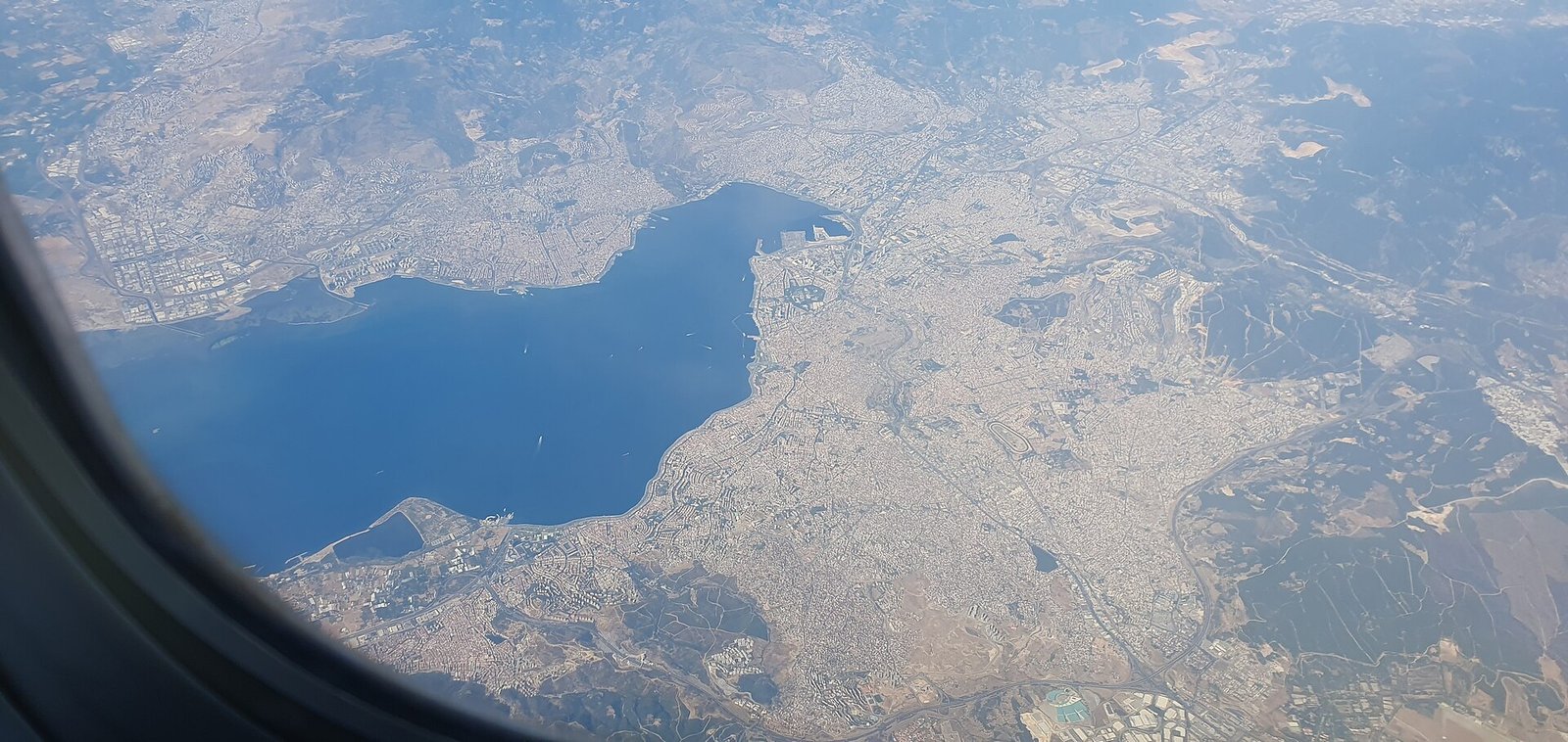
When new earthquake or liquefaction maps appear for Karşıyaka, most people do the same thing: zoom in until they find their street. A red or orange patch can trigger instant panic; a pale colour can create equally dangerous reassurance. Neither reaction is useful. A map is not a structural report for your apartment building, and it is not a prediction of exactly what will happen in the next earthquake. Its real value is simpler: it tells you where to ask better questions.
Karşıyaka’s coastal plain, dense development and areas of alluvial ground make those questions especially important. Yet two buildings on the same street may behave very differently. Construction year, structural system, foundation design, soil investigation, later alterations and maintenance all matter. The map should therefore be read as a triage tool—not a final verdict.
Three different questions that people often confuse
Earthquake hazard describes the expected shaking in a region. Ground-behaviour maps explore how local soil may amplify that shaking or where liquefaction potential may be higher. Building risk asks whether a particular structure can cope with those conditions.
A high liquefaction-potential colour does not mean that the ground will certainly fail. Liquefaction depends on saturated, loose soil, groundwater conditions and the characteristics of the shaking. Conversely, a lower-potential zone does not protect a building with serious structural weaknesses.
This distinction matters because it changes your next step. You do not “solve” a coloured map by searching for another colour. You solve uncertainty by collecting information about the building itself.
The building file matters more than a property advert
Ask the owner, apartment manager or relevant municipal archive for whatever is available:
- Building permit and occupancy permit
- Architectural and structural drawings
- Soil investigation report
- Records of major alterations
- Any previous structural assessment or strengthening project
Missing paperwork is not proof that a building is unsafe, but it increases uncertainty. Pay particular attention to ground floors converted into wide-open shops, removed walls, heavy rooftop additions, enclosed balconies and undocumented extra floors. These changes deserve professional review, not verbal reassurance from an estate agent.
What to notice during a viewing
You are not expected to diagnose a structure, but you can notice warning signs that justify further questions. Is there persistent water staining in the basement? Are there diagonal cracks around columns or beams? Has the ground floor been opened up dramatically for commercial use? Are escape routes blocked by storage? Is the gap between neighbouring buildings so narrow that pounding during shaking could be a concern?
Treat phrases such as “earthquake resistant” or “built on solid ground” as marketing unless they are supported by documents and a qualified assessment.
Turn an anxious apartment meeting into a practical process
Earthquake discussions in apartment buildings often collapse into conflict. Some owners fear the cost; others fear that even asking questions will reduce the property’s value. A more productive meeting has three stages:
- Collect and digitise every available building document.
- Commission a preliminary inspection of common areas and obvious alterations.
- Request proposals for a full performance analysis only if the first review justifies it.
This sequence replaces speculation with evidence and avoids beginning with the most expensive possible intervention.
What residents can control today
Ground conditions may feel abstract, but household preparation is concrete. Secure tall furniture, know how to shut off gas and electricity, keep stairs and exits clear, save copies of key documents and agree on a family contact plan. Use the official e-Devlet service to identify your nearest emergency assembly area, then walk the route once. A route that looks easy on a screen may feel very different at night, in rain or in a crowd.
If you live near the coast, do not automatically move towards the waterfront after strong shaking. Follow official instructions and understand in advance which inland route your household would use if authorities issue a coastal warning.
The right conclusion is not “safe” or “unsafe”
For a tenant, the map should lead to better questions before signing a lease. For an apartment board, it should help prioritise inspections. For a family, it should trigger a realistic drill rather than a vague promise to “be careful”.
The colour on the map is the beginning of the conversation. A responsible decision combines ground information, building records, professional engineering advice and a plan that the people in the home can actually follow.
What the current Karşıyaka study actually covers
İzmir Metropolitan Municipality says the Karşıyaka programme combines a building-stock inventory with microzonation work. The building survey covers roughly 22,500 structures; the municipality also reports that earlier preliminary work examined about 96,000 buildings in Bayraklı and Bornova. These numbers matter because the map is not a verdict on one apartment. It is a district-scale evidence base that must later be combined with the age, structural system, alterations and maintenance history of a specific building.
| Map or document | What it can tell you | What it cannot prove |
|---|---|---|
| Microzonation / soil map | Relative ground behaviour, amplification, liquefaction or settlement susceptibility | Whether your individual building is safe |
| Building-stock inventory | Priority groups for more detailed assessment | A legally binding performance report for your flat |
| Licensed structural assessment | Building-specific material, geometry and performance evidence | That future damage is impossible |
A homeowner’s decision sequence
- Find the parcel and confirm the map legend, scale and publication date.
- Collect the occupancy permit, architectural/structural project, renovation history and any previous test report.
- Check for removed walls, enclosed balconies, added floors, severe corrosion, soft-storey shops or obvious column damage.
- Ask the building management for a written engineering review rather than relying on a neighbour’s verbal assurance.
- If a detailed assessment is recommended, use a qualified engineer or authorised institution and obtain the scope and deliverables in writing.
Data note: municipal project information checked in July 2026. Follow the municipality’s earthquake-resilience pages for publication of final maps and methodology.
Official and useful links