


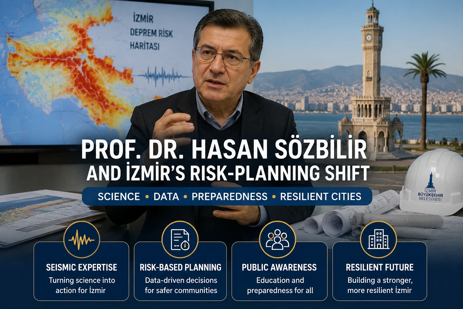
Prof Dr Hasan Sözbilir’s importance to İzmir is not that he predicts an earthquake, certifies a building or labels a district safe. His work offers a more useful route from earthquake science to public decisions: reconstructing earlier ruptures, measuring present-day deformation and contributing evidence to city-scale planning. For residents, employers and people considering property, the key distinction is simple but essential: a fault map, a local ground study and a building assessment answer different questions.
Sözbilir is a professor in Dokuz Eylül University’s Geological Engineering Department, General Geology division, with recorded research areas including seismology, geological engineering and applied geology. His university profile lists his professional base at DEÜ’s Earthquake Research and Application Center on the Tınaztepe campus in Buca. The documented record connects geological investigation of past earthquakes with current research and İzmir’s developing risk-planning process.
Why Prof Dr Hasan matters in İzmir
İzmir’s earthquake risk cannot be reduced to distance from an epicentre. Reporting after the 30 October 2020 offshore earthquake recorded Sözbilir’s explanation that the Samos fault generated the event, while local ground conditions and the building stock shaped the damage in Bayraklı. The earthquake caused 117 deaths. That combination of source, ground and structures is not specialist detail; it is central to how a large city experiences shaking.
Fault research identifies earthquake hazard sources. Ground-motion and local-amplification research examines how shaking can vary across an urban area. Building-specific engineering concerns the condition of a particular structure. The first two types of evidence do not establish whether an individual apartment block, office or workplace will perform adequately in an earthquake. Keeping those categories separate is the practical value of this profile for tenants, buyers, employers and investors.
How fault history became evidence about change
A 2011 peer-reviewed study of the Manisa Fault Zone, co-authored by Sözbilir, illustrates the historical side of this work. Its researchers mapped fault traces, excavated trenches, measured sediments and used radiocarbon dating. The method reads evidence preserved in the landscape rather than treating the fault as a line on a map with one uniform history.
The study identified evidence for three palaeoearthquakes associated with 926 CE, either 1595 or 1664 CE, and 1845 CE. It also noted that fault sectors can behave independently. Those dates do not provide a timetable for another earthquake. Instead, they show that rupture history can be reconstructed and that segmentation complicates any simple assumption that an entire fault will behave as one predictable unit.
A decade later, a 2021 GNSS-based study co-authored by Sözbilir examined deformation in the southern İzmir–Balıkesir Transfer Zone. Trenching and dating look back through geological time; GNSS data measure contemporary movement. The study found variable movement among strike-slip segments and the largest strain rates on the Karaburun Peninsula. Together, the two studies show a research path spanning both past rupture reconstruction and present deformation measurement.
What the research can—and cannot—do for planning
The shift from palaeoseismology to GNSS is not merely a change of instruments. One approach reconstructs earlier ruptures through field geology and dating, while the other measures current deformation. Used alongside other evidence, they can inform how a city frames hazard questions. They do not produce one definitive map that settles every decision about a neighbourhood, a site or a building.
In May 2024, Sözbilir said multi-university teams were studying İzmir’s faults and working on early-warning and earthquake-scenario models as ongoing research projects. That documented work should not be mistaken for a guaranteed public consumer warning service, a stated warning lead time or a completed rollout. Scenario modelling and early-warning research can support preparation, but they are not a promise that an individual resident will receive a forecast of a future event.
In 2022, Sözbilir publicly argued for implementation of AFAD’s İzmir risk-reduction actions; reporting described 227 actions in that plan. The intervention underlined a wider issue: research requires institutional follow-through if it is to shape public preparation. It does not, however, establish which actions were completed or whether every proposed action became enforceable policy.
Why ground conditions change the urban picture
The 2020 Bayraklı experience explains why fault-source knowledge alone is insufficient. An offshore earthquake source can have markedly different consequences within the same city when local ground conditions and the building stock are part of the picture. Proximity to a mapped fault, on its own, is therefore not a complete measure of the earthquake risk faced by a household, tenant, company or property owner.
A 2026 analysis of İzmir strong-motion records made that local variation more specific. It found local amplification peaks of roughly 4.0–4.5 times input motion at Konak and 3.0–3.5 times at Bornova near a 1.5-second period. These are findings about motion in the study’s analysis, not safety rankings for either district and not verdicts on individual buildings.
The same study warned that generic site classification can miss complex basin effects. It also identified limits in its approach, including one-dimensional equivalent-linear modelling and a deterministic Mw 6.5 scenario. Those qualifications matter because simplified public labels can create false certainty when they are used in place of building-specific professional evidence.
How the work enters İzmir’s planning process
In December 2025, İzmir Metropolitan Municipality named Sözbilir as one of Dokuz Eylül University’s project executives for the new Earthquake Master Plan, within a DEÜ–İYTE coordination structure. The municipality’s master-plan announcement places university expertise inside an active city preparation process rather than leaving it solely within academic research.
The master plan is not a finished or enforceable system. No verified completion date, recommendations or implementation outcome has been established. Its significance at this stage is that it is a live preparation process in which fault history, deformation, local ground behaviour and other risk questions can be considered together in planning.
In May 2026, the municipality announced planned microzonation research across 4,000 hectares of Konak and Bayraklı to provide subsurface data for planning and construction decisions. The announced Konak and Bayraklı ground investigation is therefore a planning input under study, not a completed certification of neighbourhoods or properties. It cannot replace an assessment of a specific building.
Limits, responsibilities and the next question
There is understandable demand for simple answers after a damaging earthquake: where will it happen, which district is safe, or when will a warning arrive? Sözbilir’s documented work leads in another direction. It separates fault behaviour, local ground and basin effects, and building condition rather than collapsing them into one claim. That separation makes city-scale evidence more useful, even when it does not deliver certainty about a single address.
Responsibilities also remain distinct. University research can investigate faults, deformation and scenarios. Municipal coordination can organise a master-plan process and planned microzonation work. A decision about a particular building requires building-specific professional evidence. Treating a district map or a local ground study as a property certificate bypasses that final step.
Prof Dr Hasan Sözbilir’s record is best read as a process of translation rather than prediction: from palaeoearthquake evidence to GNSS measurements, and from research activity to a master-plan process. For anyone weighing a housing or workplace decision, the useful first question is what evidence is actually being offered: a hazard source, local ground information, or an assessment of the structure itself.
Sources
- avesis.deu.edu.tr
- aa.com.tr
- Haberler | İzmir’in Deprem Master Planı için imzalar atıldı
- "Geological and Palaeoseismological Evidence for Late Pleistocene−Holoc" by ÇAĞLAR ÖZKAYMAK, HASAN SÖZBİLİR et al.
- "Present day strike-slip deformation within the southern part of the İz" by EDA ESMA EYÜBAGİL, HALİL İBRAHİM SOLAK et al.
- Prof. Dr. Sözbilir: Afetlere karşı dirençli İzmir için 227 eylem belirlendi – İzmir Haberleri
- nhess.copernicus.org
- Haberler | Konak ve Bayraklı’da zemin araştırması başlıyor